Portugal is planning to introduce maps at the entrances to several Algarve beaches to help visitors understand where they can set up their own beach umbrellas. The measure was announced by Environment Minister Maria da Graça Carvalho after a meeting with mayors from several Algarve municipalities and Grândola, on the Alentejo coast.
Vary by location
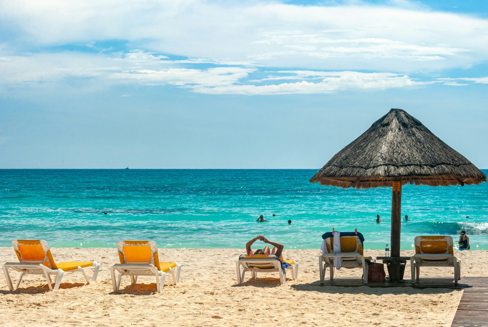
According to the Minister, beach layouts vary from one location to another, meaning there is no single rule that applies everywhere. On some beaches, concession areas and safety zones may extend almost to the shoreline, while others offer larger unrestricted spaces. For this reason, the government believes visitors should be able to see a clear visual plan before entering the beach.
The maps will be prepared by local councils in consultation with the Portuguese Environment Agency (APA) and the Maritime Authority. Municipalities have been encouraged to install them as soon as possible, particularly as the bathing season is already underway.
Not changing the current rules
The Minister made clear that the maps will not change the current rules for beach concessions. These areas can still only take up 30% of the usable beach area and no more than half of the beachfront.
However, safety and access corridors are treated separately. These spaces must remain open, meaning they cannot be used for concessions or for visitors setting up umbrellas.
Instead, the purpose of the maps is simply to make the existing organisation of each beach easier for visitors to understand. They will indicate concession zones, public areas where beachgoers are free to set up their own parasols, as well as access routes and safety spaces, such as the areas in front of lifeguard stations.
Not mandatory
The recommendation is not mandatory but has been supported by the municipalities involved, particularly those that have experienced disputes or misunderstandings over beach use in recent years. The first locations expected to receive the maps are beaches in the municipalities of Vila Real de Santo António, Castro Marim, Faro, Lagos, Vila do Bispo and Grândola.
Map design
The design of each map will reflect the specific geography and layout of the individual beach. The Portuguese Environment Agency is also coordinating with the Maritime Authority to ensure the signage matches the management plans already in place.
The minister noted that similar issues have not been reported on beaches in northern or central Portugal, meaning the measure is currently aimed only at areas where confusion has arisen.


Follow us on social media