


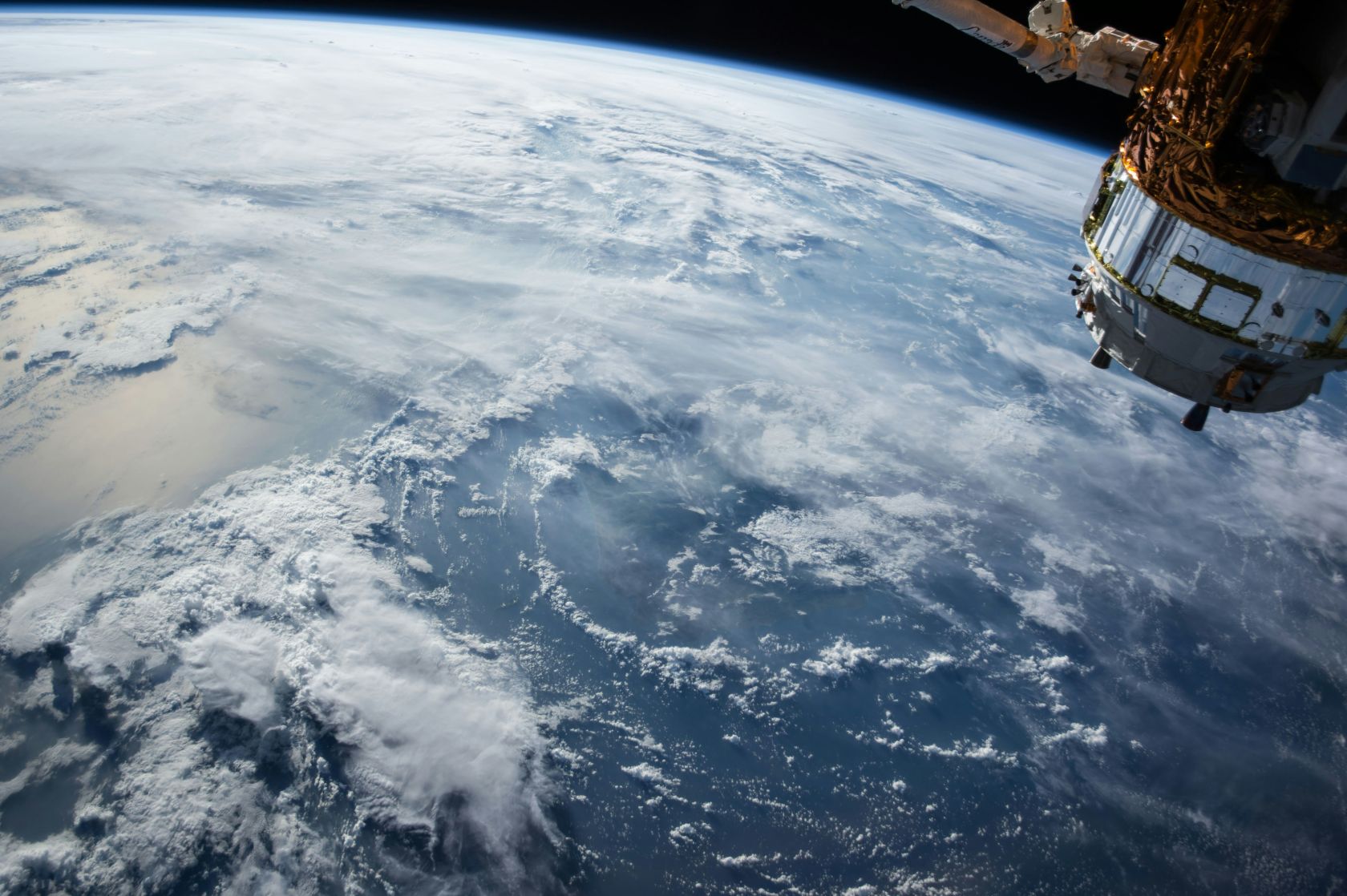
The mission will track rising sea levels, ocean currents and climate change using advanced radar and microwave instruments, providing high-precision data to improve long-term environmental monitoring and support coastal planning worldwide.

Sentinel-6B will continue a satellite record dating back to 1992, ensuring uninterrupted sea-level observations into the 2030s. Scientists say the mission will also improve understanding of coastal conditions by reducing measurement errors near shorelines, while supplying information to support weather forecasting, commercial shipping, fisheries and emergency planning.
Set The Portugal News as your preferred source for news on Google
 Add as a preferred source on Google


 Portugal Handbook
 English
 Nederlands
 Deutsch
 Français
 Español
 Italiano
 Svenska
 Pусский
 中文
 Türkçe
 Português
 Czech
 Hungarian
 Polski
 عربي
 Suomi
 עִברִית
 Português (Brasil)

Follow us on social media