


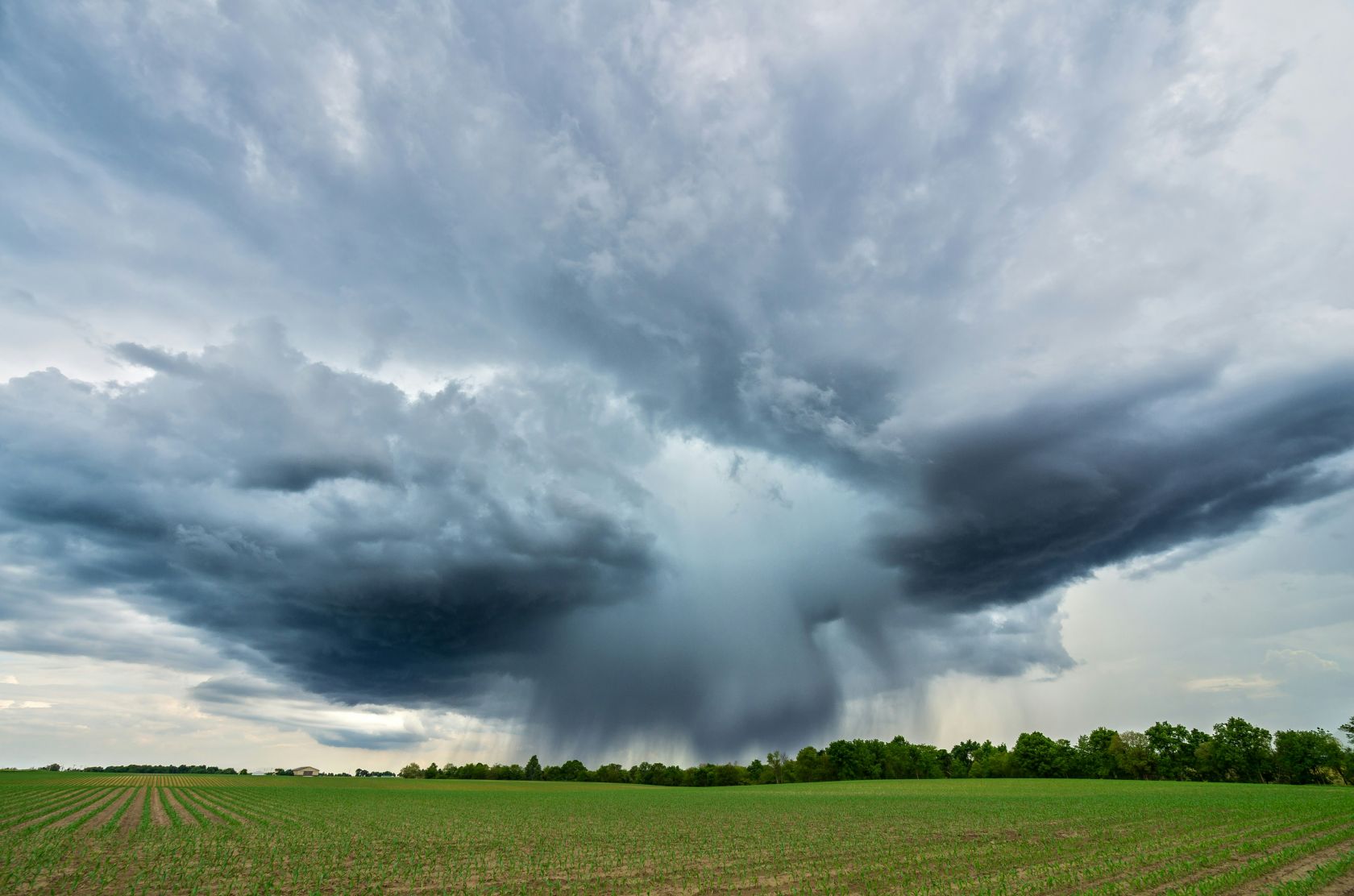
The biggest change will be felt in the North and Centre, where the first system is already influencing conditions this Monday. Rain is expected across much of the country, although amounts will vary widely from region to region.
The Northwest is likely to see the heaviest and most persistent rainfall, while southern Portugal, including the Algarve, should see considerably lower totals.
It’s a noticeable change after the hot, dry conditions that have dominated much of the summer.
Monday brings the first change
The ECMWF modelling analysed by Meteored, the first Atlantic depression is expected to sit northwest of mainland Portugal, drawing moist air across the country.
Rainfall will be particularly concentrated north of the Montejunto-Estrela mountain system, with the terrain enhancing precipitation in exposed areas.
Wind will also strengthen, particularly across the North and Centre and at higher elevations. Current modelling suggests gusts could locally reach 60-80km/h, with potentially stronger gusts in the most exposed northern areas.
Conditions at sea are also expected to deteriorate temporarily. Waves along parts of Portugal’s western coast could reach maximum heights of around 5.5 metres, although forecasts do not currently suggest an exceptional maritime event.
Another depression follows
The unsettled spell may not end once Monday’s system moves away.
A second Atlantic depression could approach between Tuesday 25 and Wednesday 26 August, sending another organised weather front towards mainland Portugal.
Again, the North and Centre are expected to bear the brunt of the rain. Some ECMWF projections indicate accumulated rainfall could exceed 100mm in parts of the Northwest over the wider period, although there remains uncertainty over exactly where the heaviest rain will fall.
For the Algarve and other southern areas, some rain remains possible, but it is expected to be less persistent and significantly lighter than farther north.
An unusual August finish
What makes the forecast particularly notable is the timing. Atlantic fronts bringing repeated rain and strong winds are much more typical of autumn than late August.
The change is being driven by a weakening of the high-pressure pattern that has helped maintain Portugal’s summer weather, allowing Atlantic low-pressure systems and their associated fronts to move towards the Iberian Peninsula.
There may be better news towards the end of the week. Current forecasts suggest conditions could begin to settle from around 28 August, with rainfall becoming less widespread during the final days of the month.
Forecast confidence naturally falls further ahead, however, and the precise tracks of the two depressions will determine how much rain and wind individual regions ultimately receive.
 Add as a preferred source on Google







 Portugal Handbook
 English
 Nederlands
 Deutsch
 Français
 Español
 Italiano
 Svenska
 Pусский
 中文
中文 Türkçe
 Português
 Czech
Czech Hungarian
 Polski
 عربي
عربي Suomi
Suomi עִברִית
 Português (Brasil)
Follow us on social media